
View My Stats
Climbing the Peaks - Scafell Pike
'Up and Down The Easy Way'
(updated 3/05/07)
Starting point is Brackenclose at the wooden road bridge over Lingmell Gill NY18335 07380 - SEE ROUTE HERE
Destination Scafell Pike summit 978m (3208 ft) via Brown Tongue, Hollow Stones, Lingmell Col, Summit and descent by the same route reversed
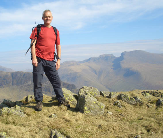
Scafell Pike - highest mountain in England at 978 m (3208 ft). Scafell on the right as you look at it always looks higher but it is in fact 14 m lower at 964 m (3162 feet) |
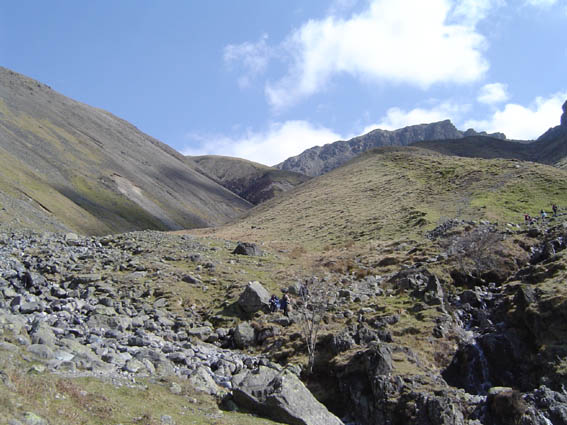
The route starts from the wooden bridge over Lingmell Gill a the head of the Lake. Brown Tongue is the grassy ridge up the centre between Lingmell on the left and Scafell on the right. Hollow Stones is the flattish bit in front of Scafell Pike Crags facing you. Lingmell Col is up to the left and Mickledore is the gap to the right of Scafell Pike.
|
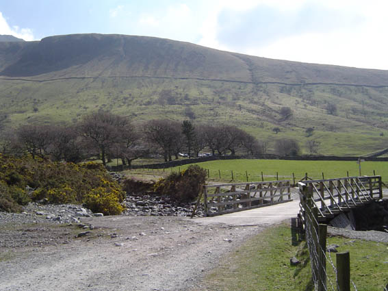
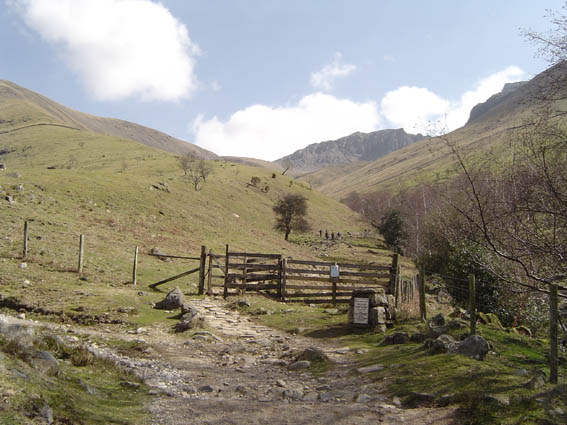
The start is by the wooden bridge. This photo taken next to the grassy 'Mountain Rescue Vehicles Only' parking area. If you park here you may end up sat in your car for some time as our rescue vehicles will block you in. Particularly frustrating for people if we are on an extended rescue through the night. |
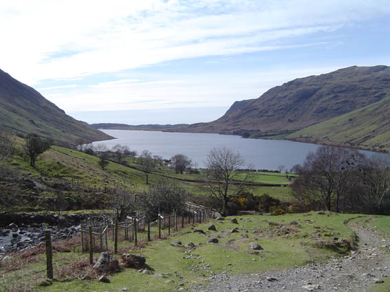
Approaching the first gate onto the open fell you can look back down Wastwater towards Seascale on the coast |
Turn round, look up and here at the first gate you see Scafell Pike centre picture, summit hidden behind the crags. |
 |
The final gate before you get onto the truly open fell side. The nose of Brown Tongue is coming into view |
 |
Approaching the Lingmell Gill crossing - will I get my feet wet...... |
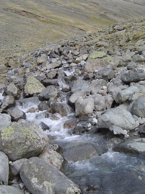
Not today as the water level is down. But when in flood it is nearly impossible to cross without getting one foot wet. Plenty of stones to step across today. Even in periods of heavy rainfall this crossing is usually crossable with care and walking poles (unlike the Becks and Gills on the north side of Lingmell) - tome to fill up your water bottle. This is the last water crossing on our way up to Scafell Pike via Lingmell Col. |
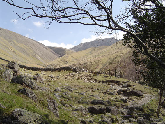
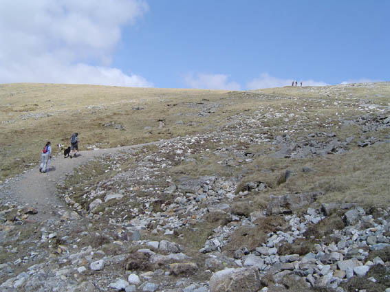
On the other side of the Lingmell Gill you join the yellow brick road up the right hand side of Brown Tongue. It is called Brown Tongue as the path used to run right up the nose and erosion was severe, hence the new path. The old path has now regenerated the grassy bank and perhaps now it should be renamed Green Tongue. |
 |
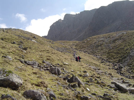
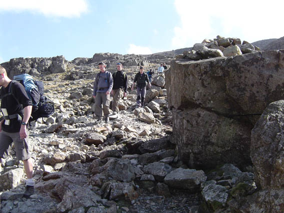
Approaching the Hollowstones area beneath Scafell Crags and Black Crags on the right |
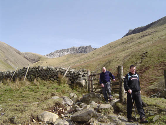
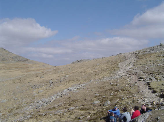
The 'Y' junction in the path - Lingmell Col to the left where the walkers are standing and Mickledore straight. We are going left where the walking becomes easier now and the painfully steep Brown Tongue is behind you. Pikes Crag is the highest point in front of you and the summit of Scafell Pike behind that. |
So take the left path and carry onwards |
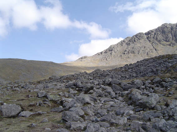
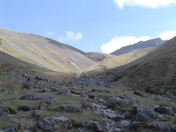
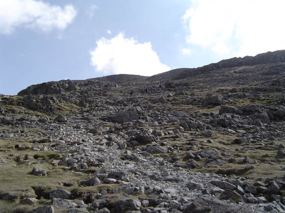
Across the boulder strewn Hollowstones are. Path finding is very difficult in places when in mist and at night. I good weather not a problem just head fro the col. |
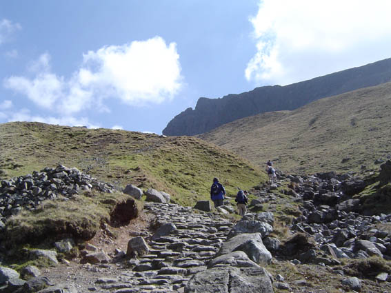
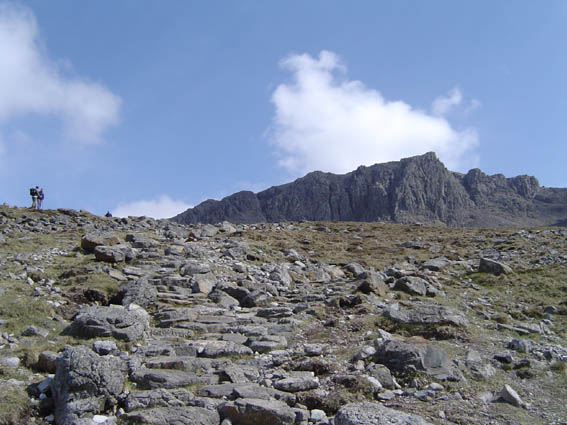
Now we are on the new zig zags courtesy of the path builders - how to they do it you might ask..... see here |
Top of the zig zags and only 5 minutes now to the col. |
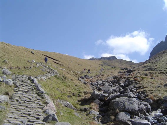
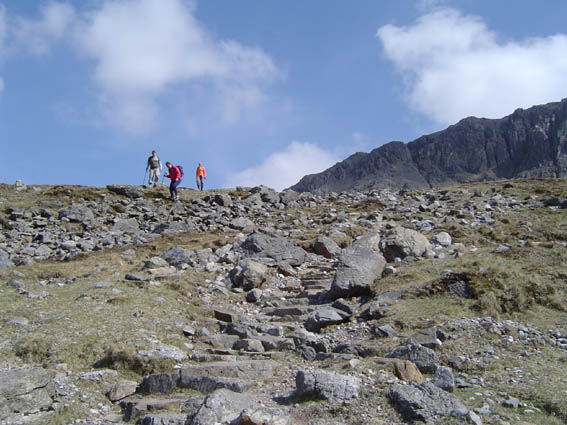
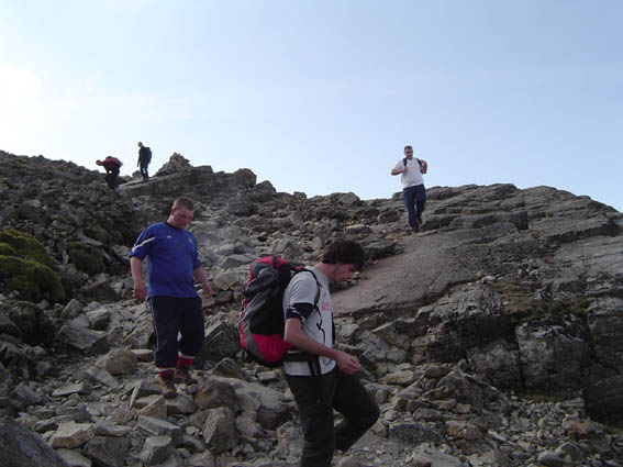
This is what I refer to as the 90 degree bend where the path now takes a sharp right and heads up to Scafell Pike plateau. More difficult route finding in mist but the path is very obvious today. |
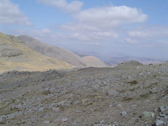
As you progress up towards the summit you can look to your left and see where the corridor route joins in from the Keswick direction. |
The next landmark is the 'Pee Boulder' - this is where the group of 11 lost walkers ( 7 from Sheffield University and 4 from the South of England) sheltered in poor weather March 2007 (see rescue 7/17 on 17/3/07) - the boulder's name is not marked on the map and was named by the Team leader following a rescue some years ago (the spelling is correct) |
We have now reached the second and true 90 degree bend. This takes you along a path we call the slabs - very easy to identify in all weathers due to the scoring lines which criss-cross the slabs |
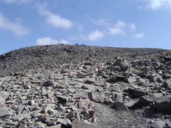
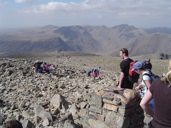
On the summit plateau and les than 5 minutes to the top |
At the very large cairn on the skyline as you approach the summit |
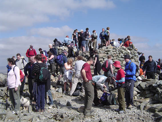
You will know when you have got there, in addition to not being able to climb any higher, you might meet as few people for lunch!! |
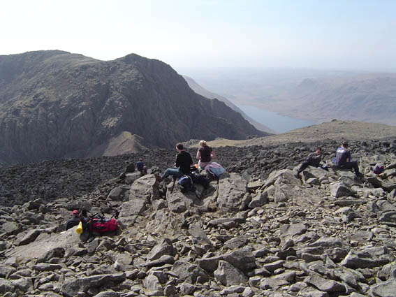
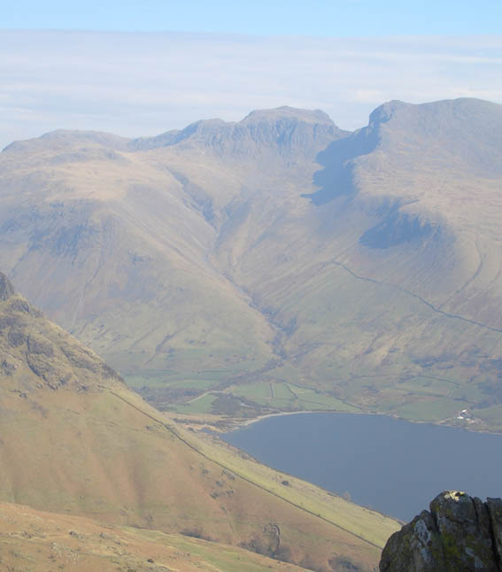
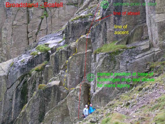
Some excellent views from the summit on a clear day - here we are looking south west towards Scafell. Mickledore is the col between Scafell and Scafell Pike. Broad Stand is at the end of the col ridge but down the scree on the Eskdale side, the entrance marked by a cleft in the rocks....Fat Man's Agony. This is definitely only a route for experienced scramblers and climbers. |
| The Descent |
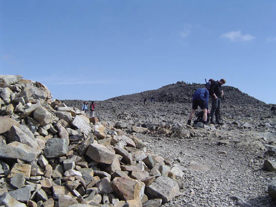
| On this route we are going to return the way we came up. The cairns head off down towards both Mickledore and Lingmell Col. We need to make sure that we don't venture left and end up at the Mickledore Stretcher Box. The key is to count the cairns from the summit's triangulation point (the man made stone tower with a metal plate on the top). At the 11th cairn bear right. This will take you back to the large cairn which can just be seen on the picture below at the end of the trail of walkers. |
 |
| More photos to follow - under construction |
 |
Page created 25/3/07